Environment

Environmental health is the area of public health that deals with all the different ways the world around us can impact our physical and mental wellbeing. It explores how external forces can impact how we eat, live, and grow and covers topic areas such as air quality, transport, road safety, licensing, fast food outlets, accessible green space and many other topic areas.
Useful Resources
-
View resourceHelping tackle climate change one meal at a time (Directors of Public Health report for Berkshire 2021/22)
This independent Director of Public Health (DPH) report was jointly produced by the DsPH for Berkshire East and Berkshire West and focuses on food, sustainability and climate change.
Research and Reports -
View resourceCreating the right environments for health (Director of Public Health Report for RBWM 2018)
The independent Director of Public Health (DPH) report for 2018 focussed on green space, the environment and how this impacted on the health of people in RBWM.
Research and Reports -
View resourceCreating the right environments for health (Director of Public Health Report for Slough 2018)
The independent Director of Public Health (DPH) report for 2018 focussed on green space, the environment and how this impacted on the health of people in Slough.
Research and Reports -
View resourceCreating the right environments for health (Director of Public Health Report for Bracknell Forest 2018)
The independent Director of Public Health (DPH) report for 2018 focussed on green space, the environment and how this impacted on the health of people in Bracknell Forest.
Research and Reports -
View resourceSpatial planning for health: evidence review (Public Health England, 2017)
This review provides public health planners and local communities with evidence informed principles for designing healthy places.
Guidance and Best Practice -
View resourceWider Determinants of Health Profile (Office for Health Improvement and Disparities)
This Office for Health Improvement & Disparities (OHID) profile collates national, regional and local data on the wider determinants of health including the environment, education, employment and income, crime, health outcomes, health assets and vulnerable groups.
Fingertips Profile -
View resourceEnvironment – National Institute for Health and Care Excellence (NICE) resources
National Institute for Health and Care Excellence (NICE) resources on the environment, including guidance and quality standards.
Guidance and Best Practice -
View resourceChief Medical Officer’s Annual Report 2017: Health impacts of all pollution
Professor Dame Sally Davies’s ninth report as Chief Medical Officer (CMO) discusses the threat to health posed by pollution to people living in England.
Research and Reports -
View resourceUnderstanding the health effects of climate change (UK Health Security Agency 2021)
UK Health Security Agency summary on understanding the health effects of climate change (extreme weather events, impacts on food supplies and affecting the air we breathe).
Research and Reports -
View resourceAir Quality Statistics (Department for Environment, Food & Rural Affairs)
An annual update on concentrations of major air pollutants in the UK (national statistics)
Data and Analysis -
View resourceAir quality and emissions statistics (Department for Environment, Food & Rural Affairs)
This collection brings together documents relating to Air quality and emissions statistics.
Data and Analysis -
View resourceEmissions of air pollutants (Department for Environment, Food & Rural Affairs)
An annual publication covering the emissions of some important air pollutants (national statistics)
Data and Analysis -
View resourceUK Air Information Resource (Department for Environment Food & Rural Affairs)
Air pollution forecast and latest measures of air quality
Data and Analysis -
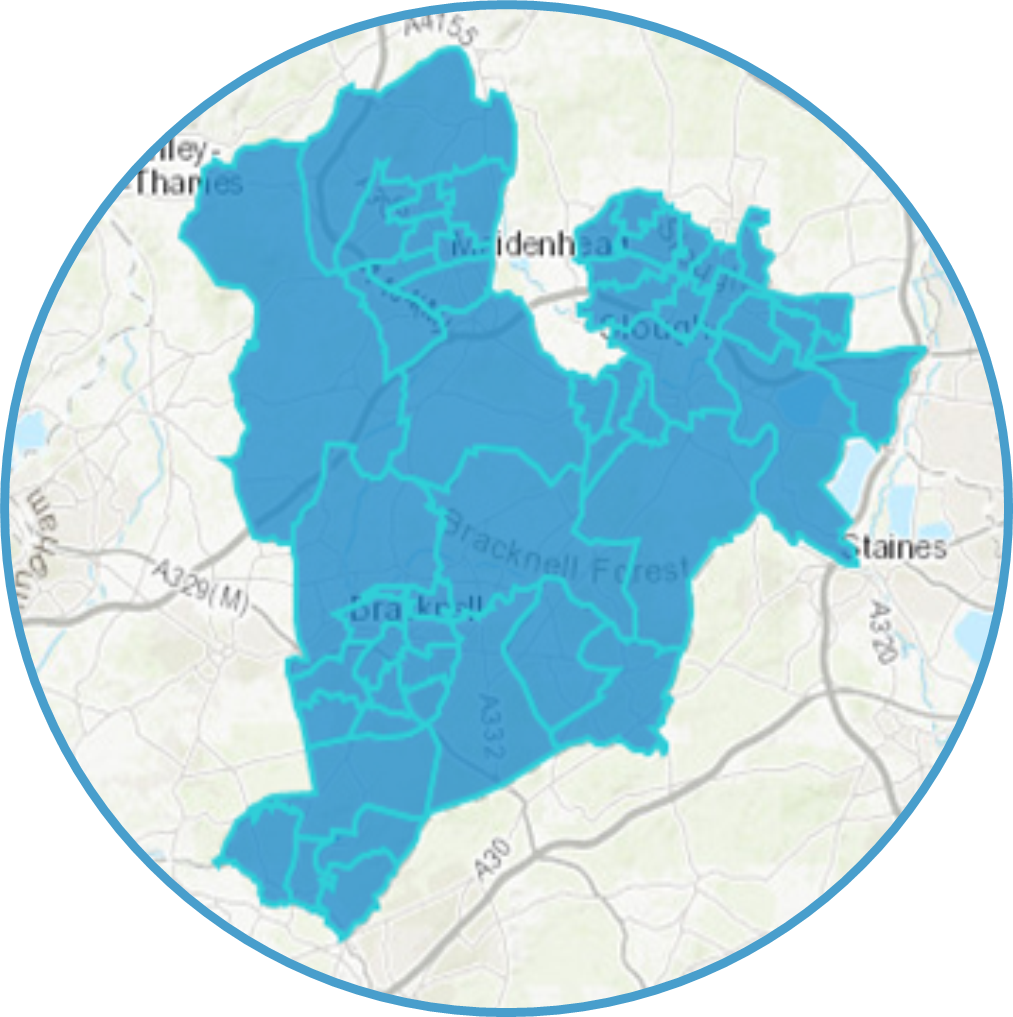
View resourceAccess to Healthy Assets and Hazard (AHAH): Air Quality domain map for Bracknell Forest (2022)
Access to Healthy Assets and Hazard (AHAH): Air quality domain map by lower super output area for Bracknell Forest.
This uses data from the Consumer Data Research Centre, which creates an index based on four domains to assess an areas health. This map looks at the air quality domain and the presence of air pollutants (NO2 level, PM10 level, SO2 level).Maps -
View resourceAccess to Healthy Assets and Hazard (AHAH): Air Quality domain map for Slough (2022)
Access to Healthy Assets and Hazard (AHAH): Air quality domain map by lower super output area for Slough.
This uses data from the Consumer Data Research Centre, which creates an index based on four domains to assess an areas health. This map looks at the air quality domain and the presence of air pollutants (NO2 level, PM10 level, SO2 level).Maps -
View resourceAccess to Healthy Assets and Hazard (AHAH): Air quality domain map for RBWM (2022)
Access to Healthy Assets and Hazard (AHAH): Air quality domain map by lower super output area for RBWM.
This uses data from the Consumer Data Research Centre, which creates an index based on four domains to assess an areas health. This map looks at the air quality domain and the presence of air pollutants (NO2 level, PM10 level, SO2 level).Maps -
View resourceAccess to Healthy Assets and Hazard (AHAH): Green space domain map for Bracknell Forest (2022)
Access to Healthy Assets and Hazard (AHAH): Green space domain map by lower super output area for Bracknell Forest.
This uses data from the Consumer Data Research Centre, which creates an index based on four domains to assess an areas health. This map looks at the physical environment and access to green spaces.Maps -
View resourceAccess to Healthy Assets and Hazard (AHAH): Green space domain map for Slough (2022)
Access to Healthy Assets and Hazard (AHAH): Green space domain map by lower super output area for Slough.
This uses data from the Consumer Data Research Centre, which creates an index based on four domains to assess an areas health. This map looks at the physical environment and access to green spaces.Maps -
View resourceAccess to Healthy Assets and Hazard (AHAH): Green space domain map for RBWM (2022)
Access to Healthy Assets and Hazard (AHAH): Green space domain map by lower super output area for RBWM.
This uses data from the Consumer Data Research Centre, which creates an index based on four domains to assess an areas health. This map looks at the physical environment and access to green spaces.Maps -
View resourceTransport – National Institute for Health and Care Excellence (NICE) resources
National Institute for Health and Care Excellence (NICE) resources on transport, including guidance and quality standards.
Guidance and Best Practice -
View resourceTransport Statistics (Department for Transport)
Department for Transport publishes official statistics relating to the transport system in Great Britain.
Data and Analysis -
View resourceHow life has changed in Bracknell Forest: Census 2021 (Office for National Statistics, 2023)
A summary of how life has changed in Bracknell Forest from the 2011 census to the 2021 census. This focuses on more detailed demographic data, including age, ethnicity, country of birth, religion, disability and health, caring responsibilities, housing, employment and health.
Data and Analysis -
View resourceHow life has changed in Slough: Census 2021 (Office for National Statistics, 2023)
A summary of how life has changed in Slough from the 2011 census to the 2021 census. This focuses on more detailed demographic data, including age, ethnicity, country of birth, religion, disability and health, caring responsibilities, housing, employment and health.
Data and Analysis -
View resourceHow life has changed in Windsor and Maidenhead: Census 2021 (Office for National Statistics, 2023)
A summary of how life has changed in Windsor and Maidenhead from the 2011 census to the 2021 census. This focuses on more detailed demographic data, including age, ethnicity, country of birth, religion, disability and health, caring responsibilities, housing, employment and health.
Data and Analysis -
View resourceHealth Profile for England 2021 (Public Health England)
The Health Profile for England (HPfE) was first produced by Public Health England (PHE) in 2017. It brings together PHE data and knowledge with information from other sources to give a broad picture of the health of people in England today. The report has been updated annually, with content and format altering slightly each year.
The 2021 edition of the HPfE provides a comprehensive snapshot of the nation’s health and updates many indicators presented in previous reports. It also contains a summary of the impact of the coronavirus (COVID-19) pandemic on many aspects of health.
Fingertips Profile
Currently no resources for this region
-
View resourceSpatial planning for health: evidence review (Public Health England, 2017)
This review provides public health planners and local communities with evidence informed principles for designing healthy places.
Guidance and Best Practice -
View resourceWider Determinants of Health Profile (Office for Health Improvement and Disparities)
This Office for Health Improvement & Disparities (OHID) profile collates national, regional and local data on the wider determinants of health including the environment, education, employment and income, crime, health outcomes, health assets and vulnerable groups.
Fingertips Profile -
View resourceEnvironment – National Institute for Health and Care Excellence (NICE) resources
National Institute for Health and Care Excellence (NICE) resources on the environment, including guidance and quality standards.
Guidance and Best Practice -
View resourceChief Medical Officer’s Annual Report 2017: Health impacts of all pollution
Professor Dame Sally Davies’s ninth report as Chief Medical Officer (CMO) discusses the threat to health posed by pollution to people living in England.
Research and Reports -
View resourceUnderstanding the health effects of climate change (UK Health Security Agency 2021)
UK Health Security Agency summary on understanding the health effects of climate change (extreme weather events, impacts on food supplies and affecting the air we breathe).
Research and Reports -
View resourceAir Quality Statistics (Department for Environment, Food & Rural Affairs)
An annual update on concentrations of major air pollutants in the UK (national statistics)
Data and Analysis -
View resourceAir quality and emissions statistics (Department for Environment, Food & Rural Affairs)
This collection brings together documents relating to Air quality and emissions statistics.
Data and Analysis -
View resourceEmissions of air pollutants (Department for Environment, Food & Rural Affairs)
An annual publication covering the emissions of some important air pollutants (national statistics)
Data and Analysis -
View resourceUK Air Information Resource (Department for Environment Food & Rural Affairs)
Air pollution forecast and latest measures of air quality
Data and Analysis -
View resourceTransport – National Institute for Health and Care Excellence (NICE) resources
National Institute for Health and Care Excellence (NICE) resources on transport, including guidance and quality standards.
Guidance and Best Practice -
View resourceTransport Statistics (Department for Transport)
Department for Transport publishes official statistics relating to the transport system in Great Britain.
Data and Analysis -
View resourceHealth Profile for England 2021 (Public Health England)
The Health Profile for England (HPfE) was first produced by Public Health England (PHE) in 2017. It brings together PHE data and knowledge with information from other sources to give a broad picture of the health of people in England today. The report has been updated annually, with content and format altering slightly each year.
The 2021 edition of the HPfE provides a comprehensive snapshot of the nation’s health and updates many indicators presented in previous reports. It also contains a summary of the impact of the coronavirus (COVID-19) pandemic on many aspects of health.
Fingertips Profile
Currently no resources for this region
-
View resourceHelping tackle climate change one meal at a time (Directors of Public Health report for Berkshire 2021/22)
This independent Director of Public Health (DPH) report was jointly produced by the DsPH for Berkshire East and Berkshire West and focuses on food, sustainability and climate change.
Research and Reports
Currently no resources for this region
-
View resourceCreating the right environments for health (Director of Public Health Report for Bracknell Forest 2018)
The independent Director of Public Health (DPH) report for 2018 focussed on green space, the environment and how this impacted on the health of people in Bracknell Forest.
Research and Reports -
View resourceAccess to Healthy Assets and Hazard (AHAH): Air Quality domain map for Bracknell Forest (2022)
Access to Healthy Assets and Hazard (AHAH): Air quality domain map by lower super output area for Bracknell Forest.
This uses data from the Consumer Data Research Centre, which creates an index based on four domains to assess an areas health. This map looks at the air quality domain and the presence of air pollutants (NO2 level, PM10 level, SO2 level).Maps -
View resourceAccess to Healthy Assets and Hazard (AHAH): Green space domain map for Bracknell Forest (2022)
Access to Healthy Assets and Hazard (AHAH): Green space domain map by lower super output area for Bracknell Forest.
This uses data from the Consumer Data Research Centre, which creates an index based on four domains to assess an areas health. This map looks at the physical environment and access to green spaces.Maps -
View resourceHow life has changed in Bracknell Forest: Census 2021 (Office for National Statistics, 2023)
A summary of how life has changed in Bracknell Forest from the 2011 census to the 2021 census. This focuses on more detailed demographic data, including age, ethnicity, country of birth, religion, disability and health, caring responsibilities, housing, employment and health.
Data and Analysis
Currently no resources for this region
-
View resourceCreating the right environments for health (Director of Public Health Report for Slough 2018)
The independent Director of Public Health (DPH) report for 2018 focussed on green space, the environment and how this impacted on the health of people in Slough.
Research and Reports -
View resourceAccess to Healthy Assets and Hazard (AHAH): Air Quality domain map for Slough (2022)
Access to Healthy Assets and Hazard (AHAH): Air quality domain map by lower super output area for Slough.
This uses data from the Consumer Data Research Centre, which creates an index based on four domains to assess an areas health. This map looks at the air quality domain and the presence of air pollutants (NO2 level, PM10 level, SO2 level).Maps -
View resourceAccess to Healthy Assets and Hazard (AHAH): Green space domain map for Slough (2022)
Access to Healthy Assets and Hazard (AHAH): Green space domain map by lower super output area for Slough.
This uses data from the Consumer Data Research Centre, which creates an index based on four domains to assess an areas health. This map looks at the physical environment and access to green spaces.Maps -
View resourceHow life has changed in Slough: Census 2021 (Office for National Statistics, 2023)
A summary of how life has changed in Slough from the 2011 census to the 2021 census. This focuses on more detailed demographic data, including age, ethnicity, country of birth, religion, disability and health, caring responsibilities, housing, employment and health.
Data and Analysis
Currently no resources for this region
-
View resourceCreating the right environments for health (Director of Public Health Report for RBWM 2018)
The independent Director of Public Health (DPH) report for 2018 focussed on green space, the environment and how this impacted on the health of people in RBWM.
Research and Reports -
View resourceAccess to Healthy Assets and Hazard (AHAH): Air quality domain map for RBWM (2022)
Access to Healthy Assets and Hazard (AHAH): Air quality domain map by lower super output area for RBWM.
This uses data from the Consumer Data Research Centre, which creates an index based on four domains to assess an areas health. This map looks at the air quality domain and the presence of air pollutants (NO2 level, PM10 level, SO2 level).Maps -
View resourceAccess to Healthy Assets and Hazard (AHAH): Green space domain map for RBWM (2022)
Access to Healthy Assets and Hazard (AHAH): Green space domain map by lower super output area for RBWM.
This uses data from the Consumer Data Research Centre, which creates an index based on four domains to assess an areas health. This map looks at the physical environment and access to green spaces.Maps -
View resourceHow life has changed in Windsor and Maidenhead: Census 2021 (Office for National Statistics, 2023)
A summary of how life has changed in Windsor and Maidenhead from the 2011 census to the 2021 census. This focuses on more detailed demographic data, including age, ethnicity, country of birth, religion, disability and health, caring responsibilities, housing, employment and health.
Data and Analysis
Currently no resources for this region
You may also like...

Health Assets
Learn more